
Difficult Hiking Trails Near Asheville, N.C.
Trail Filterscollapse
Difficulty
Length
Trail Usage
-
Features
-
Features
Type
Travel Time*
*Travel Time is represented by the distance from downtown Asheville
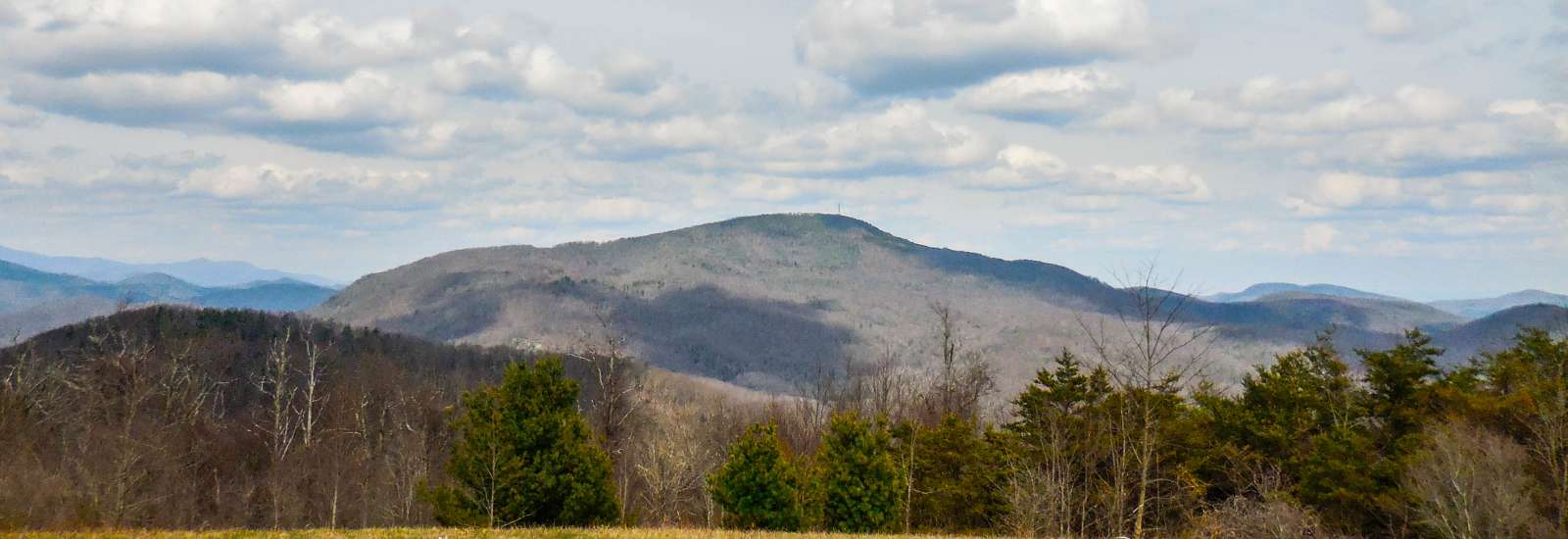
Big Butt Trail
- Distance from Asheville: About 45 minutes
- Length: 4.8 miles round-trip
- Difficulty: Difficult
Two trails start at Walker Knob Overlook. The Mountains-to-Sea Trail with its characteristic white circles starts from the middle of the parking area. This hike on the Big Butt Trail goes up from the left side, in back of a wooden sign which says "Little Butt 3 miles," a slight overestimation. Little Butt is our destination; Big Butt, itself, is overgrown and without a view. More Info
Cold Mountain Trails
- Distance from Asheville: For trailhead to longer, less strenuous hike, about 53 miles; 60-70-minute drive For trailhead to shorter, more strenuous hike, 33 miles, 50 minutes
- Length: 18 miles round-trip on the easier hike, 10.6 miles round trip for strenuous hike
- Difficulty: Difficult
Local author Charles Frazier made this 6030-foot-high peak in the Great Balsams famous with his 1997 novel of the same name. The 2000 movie version won the hearts of even more fans. Hikers love it too, but it’s not a journey to take lightly. With an average of 7 to 10 hours on the trail, this adventure requires preparation and commitment, but rewards with solitude and remarkable views. More Info
Deep Creek Waterfall Hike
- Distance from Asheville: About 65 miles, 1 hour 25 minutes
- Length: 5-miles loop (or shorter if only doing sections)
- Difficulty: Moderate to Difficult
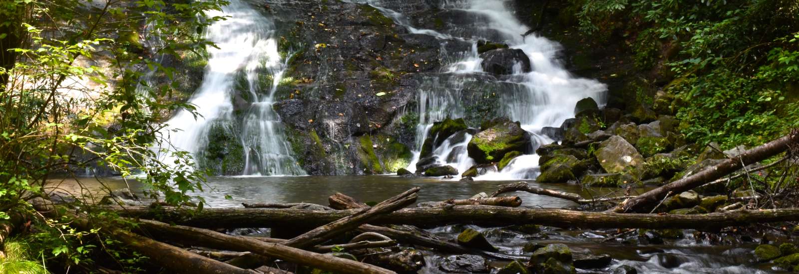
Deep Creek is one of the most beloved areas in the Smokies, known for offering the opportunity to see three beautiful waterfalls. Take a 5-mile loop hike to see them all or craft a shorter hike. Deep Creek is also known for its popular tubing sections -- one of which passes directly in front of one of the waterfalls! The Deep Creek trail was an old logging road used around the turn of the 20thcentury. Splash dams were built along the creek to float timber down to the sawmills in the area. More Info
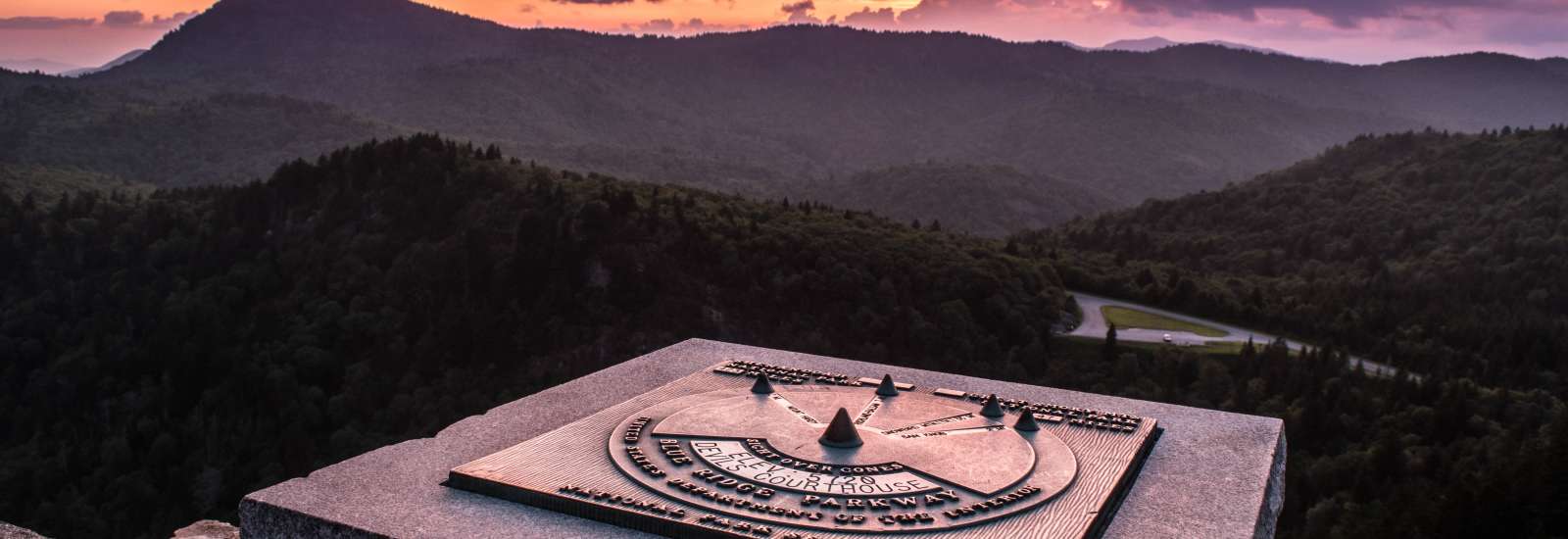
Devil's Courthouse Hike on Blue Ridge Parkway
- Distance from Asheville: About 37 miles, 1 hour 5 minutes
- Length: 1 mile round trip
- Difficulty: Moderate to Difficult
From the parking area at Devil’s Courthouse Blue Ridge Parkway, you can see your destination above you: an imposing rock outcropping that dares you to climb it. Rise to the challenge: from atop this edifice, you’ll have the world at your feet, with views to the north, south and west. After all, the summit of Devil's Courthouse is at 5,720 feet. More Info
Douglas Falls Hike
- Distance from Asheville: Trailhead for longer hike: About 20 miles (40 minutes)
- Length: 6.6-miles round trip (long)
- Difficulty: Difficult
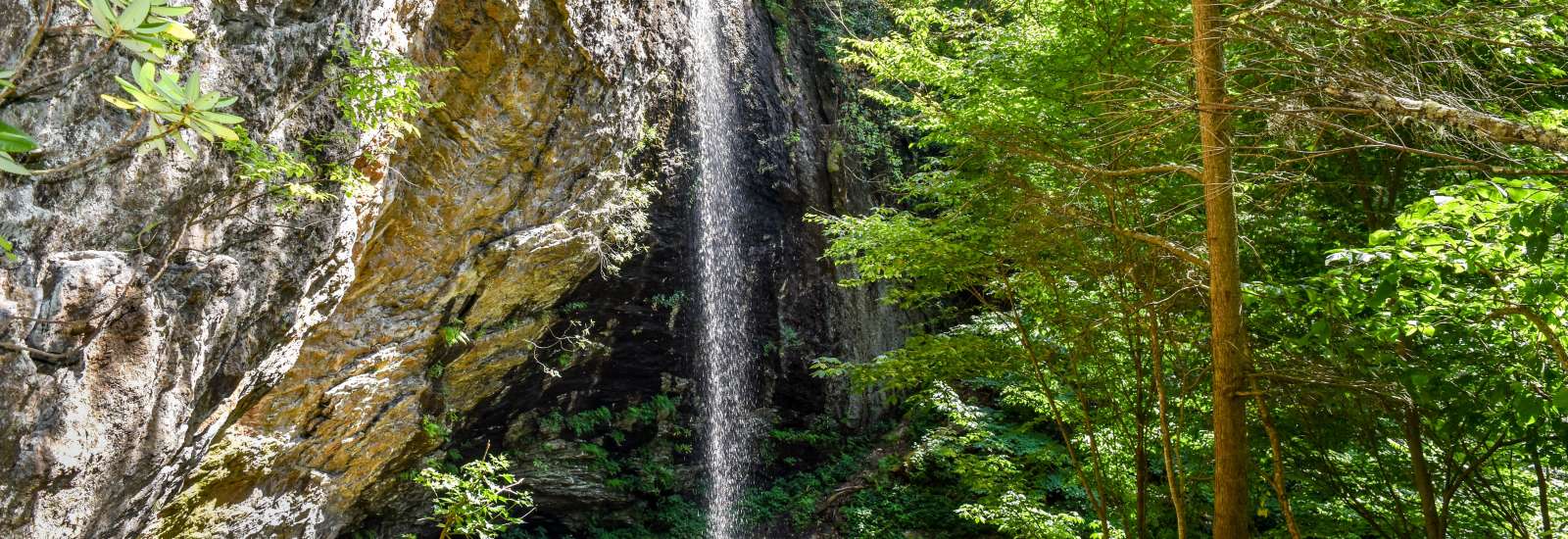
Tucked away in the beautiful Big Ivy area of Pisgah National Forest, the 70-foot Douglas Falls offers the rare opportunity to walk behind a waterfall. The waterfall drops from an overhanging cliff and features an impressive rock wall in the background. More Info
Grandfather Mountain Trail
- Distance from Asheville: 70 miles, 90 minutes
- Length: 2.4 miles each way to Calloway Peak
- Difficulty: Difficult
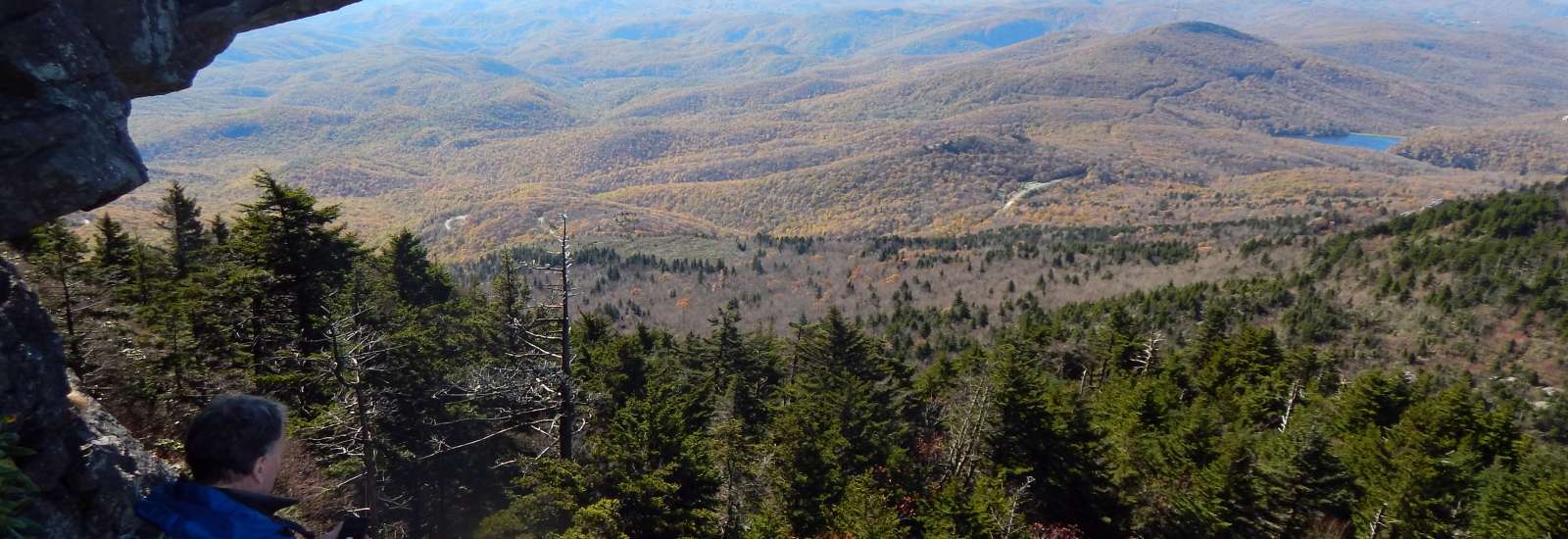
Called the most technical hike east of the Mississippi (without climbing equipment), the hike to McRae’s Peak, Attic Window and Grandfather Calloway Peak at Grandfather Mountain is also affectionately called the “chutes and ladders” trail because it involves a number of cable-assisted and ladder-access area. Scale these peaks for the adventure of it, but don’t take the challenge too lightly: this is for experienced hikers. More Info
Graybeard Trail
- Distance from Asheville: 18 miles; 25 minutes
- Length: 4.8 miles from trail head to summit (9.5 miles roundtrip)
- Difficulty: Difficult
Founded as a retreat center in the 1890s, Montreat later developed as a conference center for the Presbyterian Church and also includes a college. The area’s steep wooded trails offer access to views of the peaks of the Black Mountains, called the Seven Sisters. Graybeard Trail is challenging, but rewards effort with incredible views. Stop by the Montreat Store on your way to the trailhead for a free trail map. More Info
Linville Gorge East Rim Trails
- Distance from Asheville: 60 miles; about 2 hours
- Length: 1.5 to 2.4 miles each way
- Difficulty: Difficult
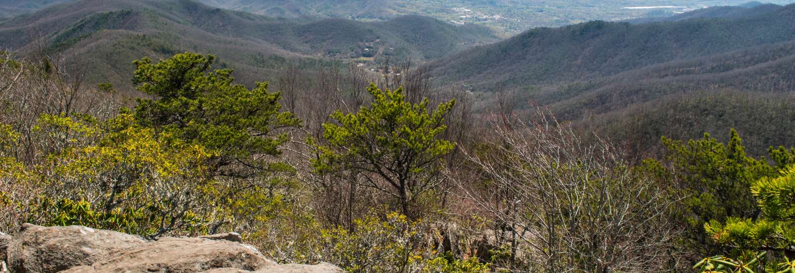
Called “the Grand Canyon of the East,” Linville Gorge drops 2,000 feet to the Linville River. Part of the nearly 12,000-acre Linville Gorge Wilderness, this is unspoiled country where rock climbers and backcountry campers with serious gear like to spend time in solitude. West Rim trails tend to go down into the gorge, but along the East Rim, you’ll find a number of trails that climb up to incredible views or feature a series of drops and climbs along the way. The spectacular scenery is worth the challenge if you’re up for it and prepared. More Info
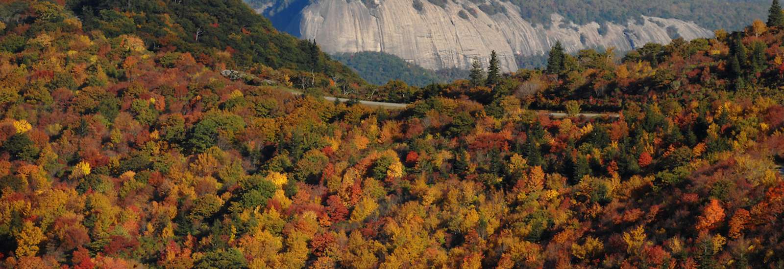
Looking Glass Rock Trail
- Distance from Asheville: About 36 miles; 45-50 minutes
- Length: 6.4 miles total
- Difficulty: Moderate to Difficult
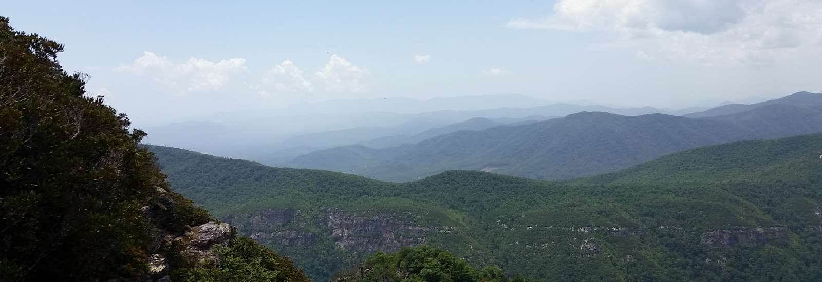
Looking Glass Rock is a white-granite “pluton” (igneous rock), rising to nearly 4,000 feet from the floor of Pisgah National Forest. Visible from the Blue Ridge Parkway, Mt. Pisgah and even the Black Balsam, it’s hugely popular with both hikers and rock climbers, especially during winter when there’s less concern about the heat radiating off the rock. Challenge yourself to a partially steep hike and you’ll be rewarded with amazing 360˚-views in every season. Just think of the pictures you’ll get from the top. More Info
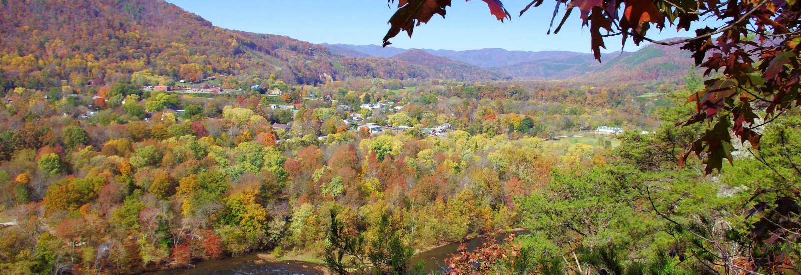
Lover’s Leap Loop Trail
- Distance from Asheville: 35 miles; 40-45 minutes
- Length: 1.6 Miles
- Difficulty: Difficult
Taking its name from a local legend, the Lover’s Leap Trail in Hot Springs offers a bird’s eye view of the French Broad River and the mountains beyond it. Following the Appalachian Trail for a stretch, you’ll hike to a series of rock outcroppings where you can enjoy the view, a picnic and a breather from the somewhat strenuous hike. More Info
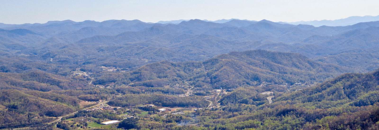
Pinnacle Park Hike
- Distance from Asheville: 47 miles, 50 minutes
- Length: 7.6 miles round trip
- Difficulty: Difficult
Looking for a challenge? Dramatic views await at The Pinnacle, a rock outcropping that sits at elevation 5,008 feet. When you reach the summit, you'll see the town of Sylva below, with the Smokies in the distance and the Plott Balsam mountain range in the foreground. You’ll get a serious workout on this uphill-all-the-way hike, which is especially popular with students at Western Carolina University (located just 15 minutes away). More Info
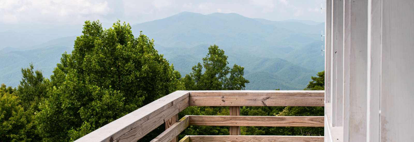
Rich Mountain Fire Tower Hike
- Length: 5 Miles Roundtrip
- Difficulty: Difficult
Stunning long-range views await you from the recently refurbished Rich Mountain Lookout Fire Tower along the Appalachian Trail in Hot Springs. In Spring 2018, the historic fire tower reopened with sturdy steps and a fresh coat of paint thanks to a partnership with North Carolina Forest Fire Lookout Association, Appalachian Trail Conservancy and U.S. Forest Service. The tower was originally built in 1932 More Info
Trombatore Trail
- Distance from Asheville: 19 miles, 30-35 minutes
- Length: 5 miles round trip
- Difficulty: Moderate to Difficult
Steep wooded slopes, mountain creeks, open fields and long-range views: this trail has a little bit of every type of terrain that you'd find in the Hickory Nut Gap area. Since the trail is new (completed in 2014) and not well known, you’re unlikely to have to share the payoff view at the summit with other hikers. More Info
Wildcat Rock Trail in Hickory Nut Gorge
- Distance from Asheville: 18.5 miles, 30 minutes
- Length: 3 Miles
- Difficulty: Difficult
The Wildcat Rock Trail features a waterfall, long-range views, caves and wildflowers. Wildcat Rock TrailCompleted in 2017, the three-mile (each way) trail is the result of years of conservation efforts between a local couple and several conservation groups. More Info

© 2001-2024 ExploreAsheville.com
All Rights Reserved
All Rights Reserved

![]()