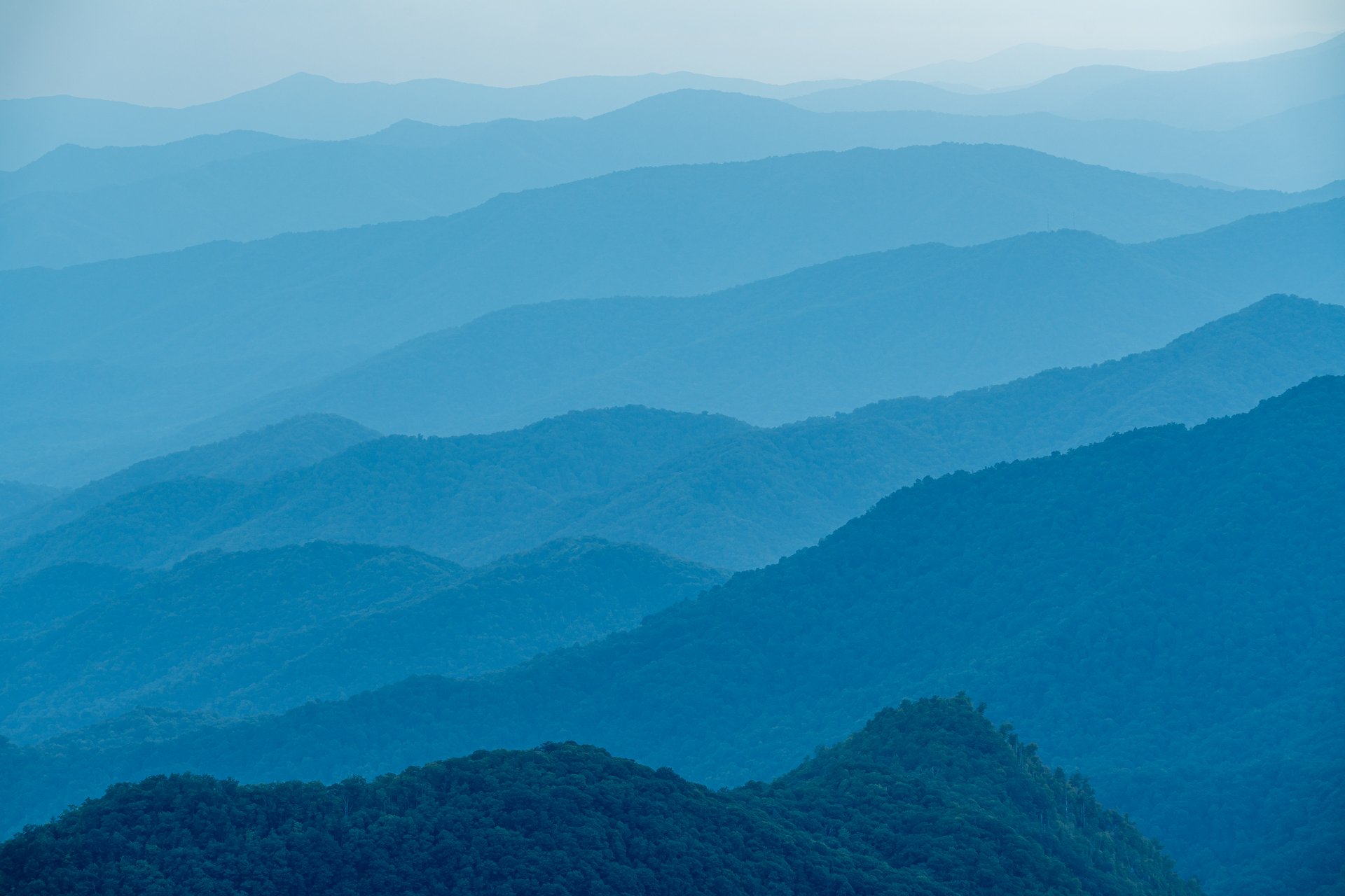

The meandering, breathtaking Blue Ridge Parkway is more than “America’s Favorite Scenic Drive” — you could also call it the country’s greatest hiking trailhead.
*Before you go: Parkway road and facility conditions can change quickly due to weather, construction, and ongoing Helene-related recovery work. As of July 14, 2026, many Asheville-area Parkway hiking access points are open, including Craggy Gardens, the Folk Art Center, Mount Pisgah, Graveyard Fields, Black Balsam, and Devil’s Courthouse. Mount Mitchell State Park is accessible from the Asheville side of the Parkway, but sections north of the park remain closed. Check the National Park Service’s current road status before heading out, and refer to our open trail guide to find the perfect hike for you on the BRP.
Along its 469-mile path, the Parkway is laced with trails, from short walks to difficult day-long treks with plenty of payoffs. Few places offer such easy access to awe-inspiring hiking adventures. In the Asheville area, the Blue Ridge Parkway is your base camp for hiking to 6,000-foot-high mountaintops, exploring refreshing waterfalls, or taking a stroll through a fragrant balsam forest. It’s every bit as invigorating as it sounds.
Where are the best Blue Ridge Parkway Hikes Near Asheville?
There are so many hiking trails to choose from, so we’ve narrowed it down to our top 10 Blue Ridge Parkway hikes within an hour of Asheville. Happy hiking!

Craggy Pinnacle Trail
Milepost 364.1. Hike round-trip distance: 1.2 miles
This short hike leads to a big payoff with 360-degree, postcard-perfect views at the summit. The Craggy Pinnacle Trail is an iconic Asheville adventure that is relatively close to town. In addition to long-range vistas, you’ll see dramatic rock formations face-to-face. Plus, this trail is one of the best places to see the stunning pink rhododendron blooms, which typically appear in late May to early June.
*Current conditions note: Craggy Gardens Visitor Center and Craggy Pinnacle Trail access are open, but Craggy Gardens Picnic Area remains closed for a Helene-related closure. Check the National Park Service’s Blue Ridge Parkway road status before you go.
Deep Gap Trail (Mount Mitchell to Mt. Craig)
Milepost 355.4. Hike round-trip distance: 2.1 miles
Hike from the highest peak east of the Mississippi River (Mount Mitchell) to the second-highest one, Mount Craig! Winding along the ridge line of the Black Mountains, you’ll often find yourself above the clouds. The Deep Gap Trail is considered moderate to strenuous. For a quick, easier hike, take the paved and handicap accessible Summit Trail to the lookout platform on top of Mount Mitchell.
*Current conditions note: Mount Mitchell State Park is accessible from the Asheville side of the Blue Ridge Parkway only, with sections north of the park still closed. Hiking trails are mostly open, but check NCParks.gov before you go for current trail and facility updates.

Rattlesnake Lodge
Milepost 375. Hike round-trip distance: 3.0 miles
Explore local history by taking a hike to Rattlesnake Lodge, the former summer home of Asheville physician and outdoor activist Dr. Chase Ambler. The lodge was destroyed by a fire in 1920, but some stone ruins remain. This moderate hike follows the Mountains-to-Sea Trail, which connects the Great Smoky Mountains to the North Carolina Outer Banks.
Mountains-To-Sea Trail at Craven Gap
Milepost 377.4. Hike round-trip distance: 4.8 miles
Just a couple of miles from the trailhead to Rattlesnake Lodge, you’ll find another popular hike on the Mountains-to-Sea Trail. The hike that begins at Craven Gap is a good introduction to Asheville’s mountain scenery, as it’s a relatively easy forest hike. It also comes with a presidential footnote: President Barack Obama and First Lady Michelle Obama hiked here during their 2010 Asheville visit.

Lunch Rocks Trail
Milepost 382. Hike round-trip distance: 4.9 miles
The Folk Art Center, the most visited attraction on the Blue Ridge Parkway, is your starting point for this hike on the Mountains-to-Sea Trail. The Lunch Rocks Trail takes you through the forest to a rock outcropping that overlooks the Haw Creek Valley. You might find it hard to believe that the trailhead is just 15 minutes from downtown Asheville.
Hard Times Loop
Milepost 395. Hike round-trip distance: 6 Miles
While the name “Hard Times” might sound like a rough-and-tumble adventure, this hike is actually one of the easiest on the list. The gentle Hard Times Loop takes you through Bent Creek Experimental Forest and the North Carolina Arboretum, offering views of mountain ridges, Lake Powhatan, and even a glimpse of Biltmore.
Mount Pisgah Trail
Milepost 407.6. Hike round-trip distance: 2.6 miles
Reach the peak of Asheville’s most recognizable mountain on this moderate-to-strenuous hike. The 5,721-foot summit can easily be seen from downtown Asheville and is perfectly framed by the windows at Biltmore. When you reach the top, the Mount Pisgah Trail reveals a view of another well-known peak: Cold Mountain. Not far away on the Blue Ridge Parkway is another area favorite: Fryingpan Mountain Lookout Tower. While this hike is shorter, about 1.5 miles round trip, the tower climb is best for those who aren’t afraid of heights.

Graveyard Fields
Milepost 418.8. Hike round-trip distance: 3.2 miles
Graveyard Fields is a family and pet-friendly trail that offers various hiking options. Our favorite loop hike here takes you to two waterfalls. Beyond waterfalls and beautiful scenery, Graveyard Fields is one of the first places near Asheville to see fall color each year. And don’t be too stressed about the name: the moniker comes from the appearance of the landscape after logging and fire turned the forest into a field of tree stumps.
*Quick note: High-elevation trailheads like Graveyard Fields, Black Balsam, and Devil’s Courthouse can see fast-changing weather, crowded parking, and seasonal road impacts, so check current conditions before making the drive.

Black Balsam
Milepost 420.2. Hike round-trip distance (to Black Balsam): 2 miles
The wide-open, long-range views from Black Balsam Knob make this hike a Blue Ridge Parkway classic. Hiking to Black Balsam on the Art Loeb Trail is a classic high-elevation experience, with wide-open views that can be extended by continuing toward Tennent Mountain. Close to Black Balsam is the less-traveled trail to Sam Knob, which offers incredible views.

Devil’s Courthouse
Milepost 422. Hike round-trip distance: 1 mile
With views to the north, south, and west of the summit, Devil’s Courthouse is worth the challenge. It’s just a half mile from the parking area to the top of this legendary rock outcropping. Much of the trail is paved, but this short, steep climb will give you a good workout.
Want More Hikes?
Find your perfect hiking trail with the Asheville Hike Finder, which allows you to easily filter by distance from downtown, trail length, and difficulty level.