Roaring Fork Falls

A gentle gravel road and a short forest path lead to a 100-foot cascade tucked at the base of Mount Mitchell, making Roaring Fork Falls one of the easiest big-payoff waterfall hikes in Pisgah National Forest.
- Length: 1.4 miles roundtripDuration of Hike: 45 minutes-1.5 hoursElevation Gain: 127 feetBlazes: YesFacilities & Parking: Small gravel parking area at the Busick Work Center gate on FS 5520; fits approximately 5-6 cars. No restrooms at the trailhead.Features: Waterfalls, Forests, Wildlife, Historic Sites, Views, Rivers, Kid Friendly, Pet Friendly, Wild Flowers
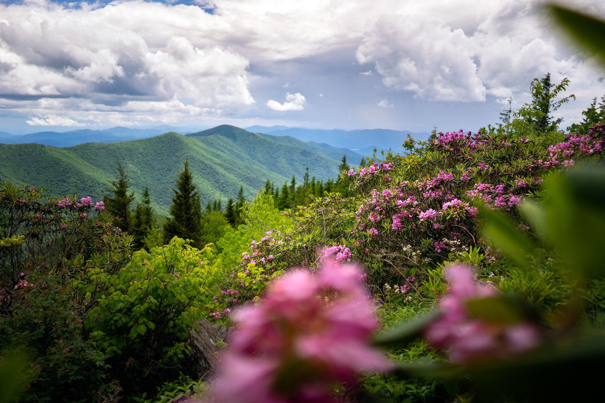
Tucked into the Pisgah National Forest at the base of Mount Mitchell, this 100-foot cascade slides down a narrow, zigzag rock chute into a small, clear pool ringed by boulders. Roaring Fork Creek feeds the South Toe River just downstream, and the surrounding cove is thick with rhododendron and eastern hemlock that bloom into color in early summer. The hike itself follows an old work-camp road, a wide, mostly flat gravel path that gains just over 100 feet over the better part of a mile, an easy grade suitable for hikers of nearly any age or ability.
Along the way, keep an eye out for two abandoned concrete bunkers just off the trail. These were once used to store dynamite for the crews who built the nearby Blue Ridge Parkway, and their open doorways make for an interesting stop even though there is nothing left to see inside. The gravel road ends at a small footbridge, and just beyond it, the falls come into view.
Leave No Trace Tip
Roaring Fork Falls sits within a small, quiet cove that can feel crowded quickly once a few groups arrive. Pack out everything you bring in, stay on the established path near the pool, and give other visitors room to enjoy the falls. Leashed dogs are welcome.
What Can I Expect at Roaring Fork Falls?
From the small parking area at the Busick Work Center gate, the trail begins directly across the road, following an old gravel service road around a metal gate. The initial rise just past the gate is the steepest section of the entire hike, after that, the grade eases and stays mostly level for the remainder of the walk. Along the way you will pass two roofless concrete bunkers set back from the trail on the right, remnants of the road-building era that give the hike a bit of history.
At about two-thirds of a mile, the gravel road nears Roaring Fork Creek. Just before the road would cross the creek, a smaller footpath breaks off to the right and crosses a wooden footbridge, this is the final stretch to the falls, roughly 100 yards of root-covered trail through the woods. The waterfall appears ahead, a long cascade sliding roughly 100 feet down a rocky, zigzag chute into a shallow pool at its base.
Most visitors stop at the base pool, where flat rocks make good spots to sit, cool off, or picnic. More adventurous hikers can follow a rougher, unofficial path along the right side of the falls to reach the top, but this route involves exposed roots and slick rock and is best left to those comfortable with a short scramble.
When Is the Best Time to Visit Roaring Fork Falls?
Roaring Fork Falls is a rewarding hike in every season, though conditions change with the weather. Spring brings a strong flow after snowmelt and rain, along with wildflowers along the old road bed. Summer is the most popular season, when the pool at the base offers a cool, shaded place to wade and rhododendron blooms fill the cove. Fall brings color to the hillsides above the falls and a quieter trail. Winter can bring the most dramatic flow of the year after storms, though the roots and rocks near the falls can be icy.
Because the parking area holds only 5 to 6 vehicles, arrive early, especially on summer weekends and holidays. If the lot is full, nearby Setrock Creek Falls, just off the same road, is worth a stop instead.
How Do I Get There?
From downtown Asheville: Take the Blue Ridge Parkway north toward Mount Mitchell. At Milepost 344.1, exit onto NC-80 North and continue for 2.2 miles. Turn left onto South Toe River Road (FS 472), following the sign for Black Mountain Campground. Cross the small bridge, then turn left again onto the road toward the Busick Work Center. Follow this road about 0.2 miles to its end, where it dead-ends at the work center gate. Park in the small gravel lot on the left, the trailhead is directly across the road on the right.
Alternate route from Asheville: Take I-26 East and US-19/23 North toward Mars Hill and Burnsville. From Burnsville, follow US-19E toward Micaville, then turn right onto NC-80 South and continue about 11-12 miles. Turn right onto South Toe River Road and follow the directions above.
Note: Portions of the Blue Ridge Parkway near Mount Mitchell are still undergoing repairs following Hurricane Helene. Check the Blue Ridge Parkway's current conditions page before your trip, and be prepared to use the NC-80 route if a section of the Parkway is closed.
Tip: GPS directions can be unreliable in this area. Search "Busick Work Center Road, Burnsville, NC" for the most reliable routing to the trailhead.
Know Before You Go
- Parking is very limited, only 5 to 6 spots at the trailhead gate. Arrive early, especially on summer weekends.
- The trail is not suitable for strollers or wheelchairs; the surface is packed gravel with a rooty final stretch.
- Roaring Fork Falls Trail reopened following debris clearing and repairs after Hurricane Helene. Trail conditions in the surrounding forest can still change after storms, so check current Pisgah National Forest alerts before visiting.
- The rocks near the base pool and any route toward the top of the falls can be slick, wear sturdy, grippy footwear.
- Swimming is popular in the base pool but there are no lifeguards. Use extra caution after heavy rain, when currents and flow are much stronger.
- Dogs are welcome on leash.
- No restrooms at the trailhead.
- Cell service is limited to nonexistent near the falls, plan your route ahead of time.
- Setrock Creek Falls, a short drive away on the same road, and Crabtree Falls, about seven miles away, make easy pairings for a full day of waterfall hopping.
Request a Free Destination Guide
There’s no better way to start your trip planning than with Asheville’s Official Destination Guide.

Sign Up for Our Newsletter
Stay in the know with the best of Asheville delivered straight to your inbox.
Download the Explore Asheville App
Plan your time in Asheville from the comfort of your device.