
Point Lookout Trail

A road that cars gave up on became one of the most rewarding walks in the mountains east of Asheville.
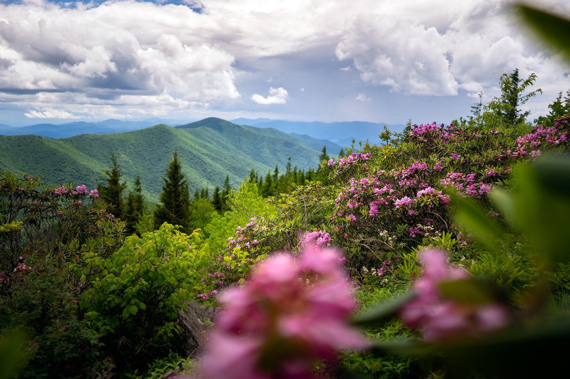
Point Lookout Trail climbs an abandoned stretch of Old US 70 at a steady, forgiving grade, trading effort for time and paying back with long views over the Royal Gorge, the winding railroad far below, and ridgelines that run to the horizon.
- Length: 7.3 miles round trip; about 5 miles round trip if you turn around at the Point Lookout overlookDuration of Hike: 3-3.5 hours for the full routeElevation Gain: About 900 feetBlazes: NoFacilities & Parking: Old Fort Picnic Area (open May through October, primitive restrooms) is the preferred trailhead, about a half mile from the gate. Off season, park at the McDowell County Visitor Center in Old Fort or the Kitsuma lot on the Ridgecrest end. No water or restFeatures: Forests, Wildlife, Views, Pet Friendly, Open Trail

For decades, this was the main way across the mountains. Old US 70 carried travelers over the Blue Ridge until the interstate climbed the ridge above it and the old road went quiet. The cars left. Walkers and cyclists stayed, and the steady grade that once served early motorcars now makes for one of the most approachable big-view outings near Asheville.
The climb is long but never steep, gaining around 900 feet over about three and a half miles as it curls along the wall of the Royal Gorge. Benches wait at the overlooks. Far below, the rail line threads the same mountains on its famous series of loops, and freight trains still work their way up the grade. Two miles in, the trail reaches its namesake at Point Lookout, where the gorge opens wide and the ridgelines stack toward the horizon.
Point Lookout is one of the most loved finished segments of the Fonta Flora State Trail, a route being built to link Asheville and Morganton and loop Lake James, roughly 100 miles of hiking and biking when it is complete. The trail carries the name of Fonta Flora, a community of Black farming families whose homes were flooded when the Catawba River was dammed to create Lake James.
What Can I Expect on the Point Lookout Trail?
From the Old Fort gate, the trail rises at an even, forgiving pitch the whole way, which makes it a friendly pick for new hikers, families, and anyone on two wheels. Many cyclists ride the climb first and let the coast back down be the reward. The surface is smooth former highway the entire distance.
About two miles up, the trail reaches Point Lookout, the namesake overlook, where the Royal Gorge opens below and benches invite a rest. Turn around here for a round trip of roughly five miles, or continue to the upper gate for the full distance. Past the overlook, the trail meets the rail line, where you can watch the tracks slip into a mountain tunnel. The trains are working freight and cannot stop quickly, so take in the view from the trail and stay well clear of the rails.
When Is the Best Time to Hike the Point Lookout Trail?
Point Lookout is beautiful year round, and each season shows a different side of it. Spring lines the roadbed with wildflowers under fresh green leaves. Summer holds its shade well, with wild berries ripening along the way and early mornings the quietest hours on the trail. Fall is the showpiece, and many consider it the best time to be here: the surrounding forest turns for a long stretch of color, and clear air sharpens the views over the Royal Gorge. Winter trades the leaves for wide-open sightlines and near solitude, though the pavement can be slick after rain or the occasional dusting of snow, so wear grippy shoes.
Weekday mornings and the off-season are the calmest times to visit. Weekends and fall color bring the most foot and bike traffic.

How Do I Get There?
From downtown Asheville: Take I-40 East to Exit 72 (Old Fort / Highway 70). Go about a mile, then turn left onto Old Highway 70 and continue 2.4 miles to the Old Fort Picnic Area on the left.
The Old Fort Picnic Area is the preferred parking and opens May through October, with primitive restrooms and about a half-mile walk or ride to the trail gate. In the off-season, park at the McDowell County Visitor Center in the town of Old Fort or at the Kitsuma lot on the Ridgecrest end near Black Mountain.
Note: Do not block the trail gates or park on the private road shoulders beside them. A short, clearly marked section of the trail crosses private property, so stay on the pavement.
Know Before You Go
- Paved and non-motorized, shared by hikers, runners, cyclists, and leashed dogs. Keep to the right and call out when passing.
- No water or restrooms on the trail. Primitive restrooms are at the Old Fort Picnic Area, May through October.
- Trail traffic is moderate, busiest on weekends and during fall color.
- Active railroad near the top. Never step onto the tracks; freight trains cannot stop quickly.
- Open dawn to dusk. Hunting is allowed on the surrounding public land, so wear orange during season.
Request a Free Destination Guide
There’s no better way to start your trip planning than with Asheville’s Official Destination Guide.

Sign Up for Our Newsletter
Stay in the know with the best of Asheville delivered straight to your inbox.
Download the Explore Asheville App
Plan your time in Asheville from the comfort of your device.