
Mountains-to-Sea Trail: Segment 1 (Kuwohi to Waterrock Knob)

Segment 1 is the Mountains-to-Sea Trail's proving ground: a 46-mile, point-to-point trek from the summit of Kuwohi to Waterrock Knob that takes most hikers three to four days of backcountry camping to complete.
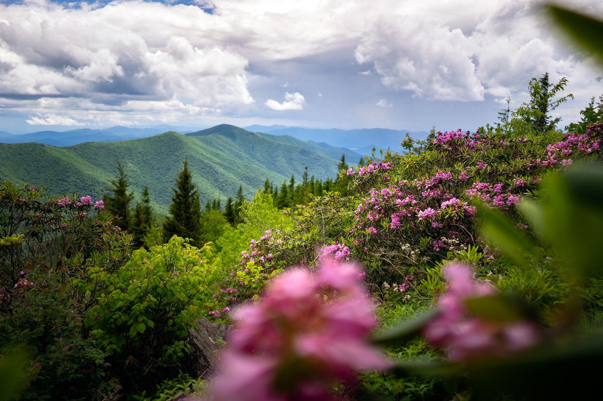
- Length: 46.2 miles, point to pointDuration of Hike: 3-4 days (24+ hours of hiking)Elevation Gain: 9,255 feetBlazes: YesFacilities & Parking: Kuwohi trailhead: large lot, restrooms, gift shop; very crowded, parking tag required over 15 min; road closed Dec-Mar.Features: Waterfalls, Forests, Wildlife, Wild Flowers, Mountain Bald
Segment 1 of the Mountains-to-Sea Trail is where the MST stops being a walk in the woods and becomes a real expedition. This 46-mile stretch opens atop Kuwohi (formerly Clingmans Dome), the highest point in the Great Smoky Mountains at 6,643 feet, and doesn't let up until Waterrock Knob, 46 miles and three to four days later. Along the way it crosses the longest roadless stretch on the entire Mountains-to-Sea Trail: 22.8 miles with no way out but forward.
This is a point-to-point route, not a loop, so you'll need a shuttle or a second car waiting at the far end. From Kuwohi it parallels Newfound Gap Road before dropping into deep forest, emerges near historic Mingus Mill and the Oconaluftee Visitor Center, then climbs onto the Blue Ridge Parkway shoulder for the final miles into Waterrock Knob. Overnight camping is required for most hikers and permitted only at designated backcountry sites.
What Can I Expect on Segment 1?
From the Kuwohi observation tower, where views stretch into seven states on a clear day, the trail parallels Newfound Gap Road before dropping into deep, quiet forest. This is where the roadless stretch begins: 22.8 miles without a single road crossing, the longest such gap anywhere on the Mountains-to-Sea Trail.
The trail emerges near Mingus Mill, a still-operating 1886 gristmill that offers tours, and passes the Oconaluftee Visitor Center before following the Oconaluftee River downstream. From there, the route joins the Blue Ridge Parkway shoulder for roughly 7.4 miles, including two tunnel-bypass trail sections, and crosses through the Qualla Boundary, land of the Eastern Band of Cherokee Indians.
The final 6.4 miles are hiker-only trail leading to Waterrock Knob, the third-highest point on the entire MST. A 0.3-mile side trail climbs to the summit, where clear days reveal views into four states.
When Is the Best Time to Hike Segment 1?
Late spring through fall is most reliable; Kuwohi Road, which accesses the starting trailhead, closes December through March. Summer brings the most crowded conditions at both trailheads, especially around Kuwohi's observation tower. Fall offers cooler hiking temperatures and color, but nights at elevation can dip below freezing even in October. Afternoon thunderstorms are common in summer at these elevations, so plan to be off exposed ridgelines by early afternoon.
To reach the starting trailhead from Asheville, take I-40 West to US-74/23 to Cherokee, then US-441 (Newfound Gap Road) north to Kuwohi Road, about 75 miles total. The finishing trailhead at Waterrock Knob is closer, about 56 miles from Asheville via the Blue Ridge Parkway (Milepost 451.2).
Note: This is a strenuous, multi-day backpacking route with 9,255 feet of elevation gain. It is not a day hike, and the 22.8-mile roadless middle section has no bailout points once you're in it.
Tip: Reserve backcountry campsites through the Great Smoky Mountains National Park permit system before you go. Walk-up permits are not available for this route.
Know Before You Go
- Dogs are not allowed anywhere on this segment; it falls entirely within Great Smoky Mountains National Park.
- A parking tag is required anywhere you stop in the Smokies for more than 15 minutes.
- This is a point-to-point route. You'll need a shuttle or a second vehicle staged at the opposite trailhead.
- Overnight backcountry permits must be reserved in advance at $4 per person per night; walk-up camping is not allowed.
- Carry a bear canister or know proper food-hanging technique; black bears are common along this route.
- Kuwohi Road is closed December through March, cutting off access to the starting trailhead in winter.
- The Kuwohi trailhead has a large lot but fills quickly; the Waterrock Knob lot is smaller, with a seasonal visitor center open mid-April through October.
- For an easier taste of this segment, the first 1.3 miles from Kuwohi to the observation tower can be hiked on its own as a short out-and-back.
Request a Free Destination Guide
There’s no better way to start your trip planning than with Asheville’s Official Destination Guide.
Sign Up for Our Newsletter
Stay in the know with the best of Asheville delivered straight to your inbox.
Download the Explore Asheville App
Plan your time in Asheville from the comfort of your device.