
Mount Mitchell Trail

The highest point east of the Mississippi River doesn't give up its summit easily.
Rising 6,684 feet above sea level in the Black Mountains north of Asheville, Mount Mitchell has drawn explorers, scientists and hikers since the 1800s, when UNC professor Elisha Mitchell first measured its elevation and later gave his life studying the range that now bears his name.
- Length: 11.8 miles round tripDuration of Hike: 6+ hoursElevation Gain: 3,694 feetBlazes: YesFacilities & Parking: Trail parking is located at the Black Mountain Campground/Briar Bottom Day Use Area off South Toe River Road.Features: Forests, Wildlife, Views, Kid Friendly, Pet Friendly, Wild Flowers, Open Trail
The Mount Mitchell Trail begins in a cove hardwood forest along the South Toe River and climbs, switchback after switchback, into a different climate entirely. Hikers leave behind warm valley air and oak-hickory woods, pass through a band of birch and other northern hardwoods, and finally enter a boreal forest of red spruce and Fraser fir more typical of Canada than North Carolina—a relict of the last Ice Age, stranded on these high peaks as glaciers retreated.
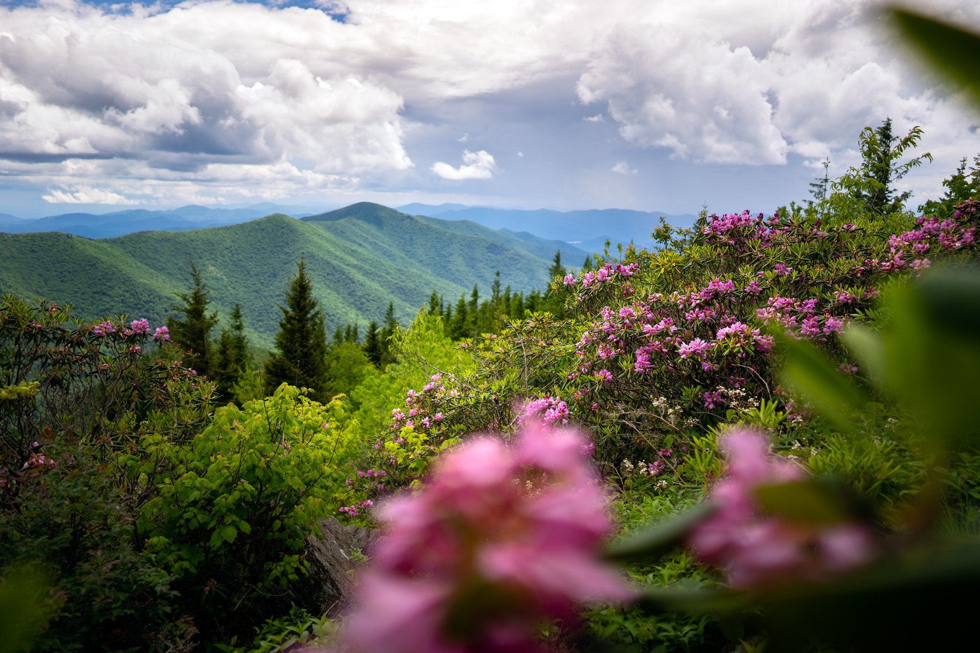
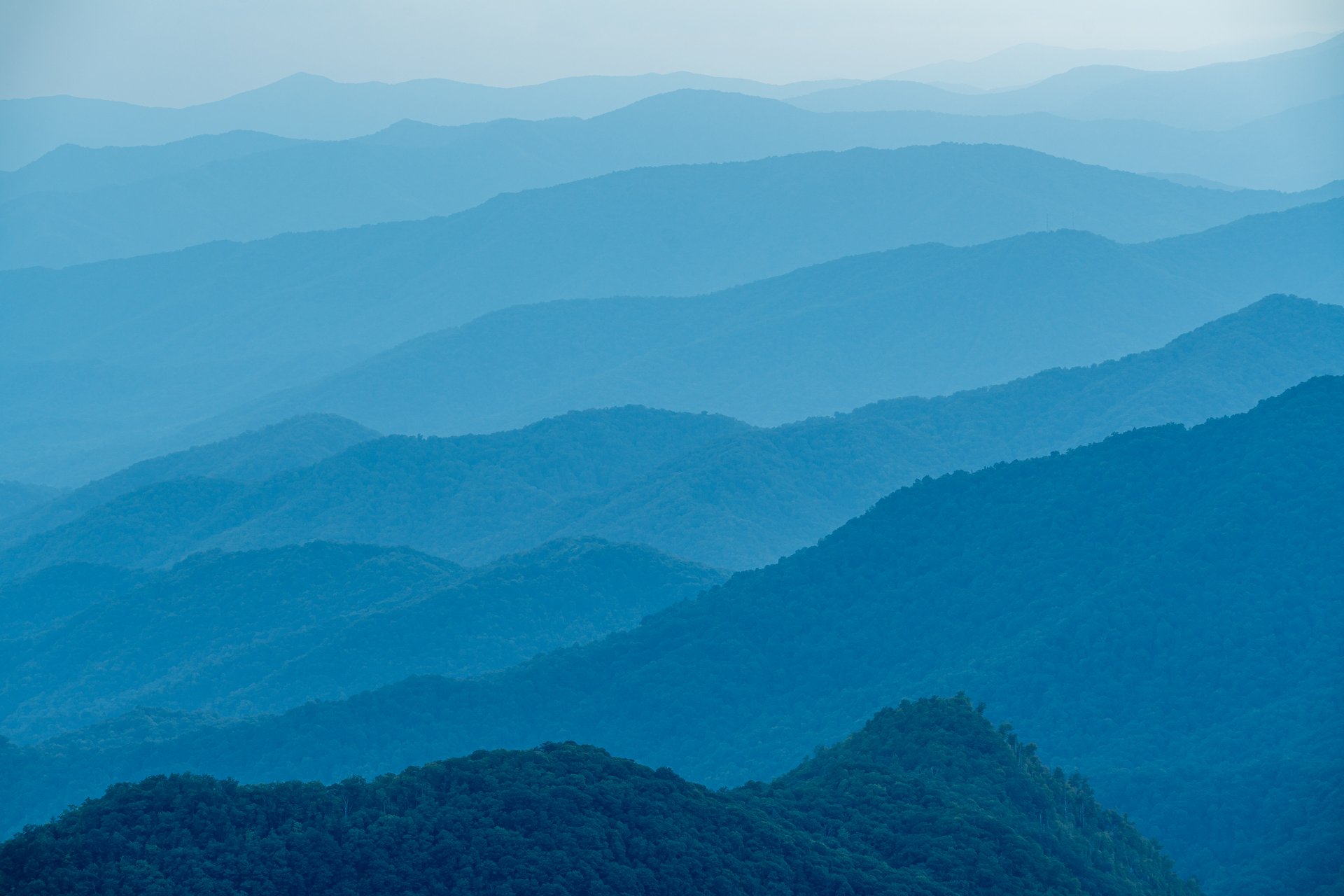
The reward at the top is a 360-degree view from the summit's stone observation tower, where on a clear day hikers can see the Craggy Mountains, the Great Craggy range, and peaks more than 85 miles away.

What Can I Expect on the Mount Mitchell Trail?
The hike begins at the Black Mountain Campground/Briar Bottom trailhead off South Toe River Road, at an elevation of roughly 3,200 feet. From the parking area, cross the vehicle bridge over the South Toe River and pick up the Briar Bottom Trail, which quickly connects to the Mount Mitchell Trail (USFS Trail #190).
The first stretch climbs steadily through a hardwood forest of oak and hickory, using switchbacks to gain elevation efficiently. At approximately 1.5 to 2 miles, a side trail branches left to Higgins Bald, a worthwhile detour for hikers with extra time and energy.
Above Higgins Bald, the character of the forest begins to change. Oaks and hickories give way to birch and other high-elevation hardwoods between roughly 4,500 and 5,500 feet, and the air noticeably cools.
Around the 4-mile mark, the trail opens into a large grassy clearing—the site of Camp Alice, a logging camp and later a tourist camp that operated here in the early 1900s. Nothing of the camp remains today, but the clearing makes a natural rest stop and a legal, if exposed, backcountry campsite for backpackers. Here the trail also crosses Commissary Ridge, intersecting the Commissary Trail and the Buncombe Horse Range Trail.
Just beyond Camp Alice, the trail enters the spruce-fir zone in earnest. Red spruce and Fraser fir crowd the path, and the scent of Christmas trees fills the air even in midsummer. The climbing continues, though the grade eases somewhat compared to the lower switchbacks.
At approximately mile 5.2, the Mount Mitchell Trail joins the short Balsam Nature Trail near the summit observation tower. From here, it's a final 0.1 mile on a paved path to the summit itself—a circular stone observation deck at 6,684 feet, the highest point east of the Mississippi River.
The summit parking area, park office, museum, gift shop, restrooms and seasonal restaurant sit approximately 0.3 mile beyond the tower, making a natural endpoint for hikers who arranged a shuttle or a second vehicle.
For those hiking out and back, the return trip retraces the same 5.7-mile route, descending nearly 3,700 feet back to the South Toe River valley. Allow considerably more time than a typical hike of this distance—most hikers report 7 to 11 hours round trip, and the U.S. Forest Service estimates roughly 6 hours for the climb alone.

Reaching the Summit From the Other Direction
Hikers looking for a shorter, less strenuous way to stand atop Mount Mitchell can start from the state park's summit parking area instead. From the park office, the Old Mitchell Trail and Camp Alice Trail combine for an approximately 4-mile round trip down to Camp Alice and back, dropping into the same spruce-fir forest and historic clearing without the full 3,700-foot elevation change of the complete Mount Mitchell Trail.
From the summit parking lot, it's just a 0.3-mile walk on a paved, partially accessible path to the observation tower—a popular option for families, sunrise-watchers, or anyone short on time. Many hikers also combine a visit to the summit with the Deep Gap Trail (Black Mountain Crest Trail), a rugged out-and-back ridgeline route to neighboring Mount Craig, the second-highest peak in the East.
When Is the Best Time to Hike Mount Mitchell?
Spring brings wildflowers to the lower hardwood forest, though snow and ice can linger at the summit well into April. Trail conditions can be muddy and unpredictable; check current conditions before heading up.
Summer offers welcome relief from valley heat—the summit runs 10 to 30 degrees cooler than downtown Asheville, and snow flurries have been reported even in June, July and August. Afternoon thunderstorms are common at elevation, so start early and avoid exposed sections, including the summit observation tower, if thunder is nearby.
Fall paints the lower hardwood forest in color while the spruce-fir zone near the summit stays evergreen, creating dramatic contrast across the elevation gradient. This is among the most popular times to visit, so expect crowded summit parking and arrive early.
Winter transforms Mount Mitchell into one of the coldest, snowiest places in the Southeast, averaging roughly 90 to 100 inches of snow a year; the state's record low of -34°F was set here in January 1985. The summit road and Blue Ridge Parkway sections frequently close for snow and ice. Only experienced, well-equipped winter hikers should attempt the full trail in these conditions.
How Do I Get There?
Mount Mitchell State Park and the Mount Mitchell Trail are located in the Black Mountains, approximately 35 miles northeast of downtown Asheville as the crow flies, though the drive to the Black Mountain Campground trailhead is considerably longer by road.
From downtown Asheville, take I-26 East/West to Exit 9 for US-19 toward Burnsville. Follow US-19 to Micaville, then turn right (south) onto NC Highway 80. Continue approximately 12 to 14 miles, passing the Mount Mitchell Golf Course, then turn right onto South Toe River Road (FSR 472). The pavement transitions to gravel; follow signs to Black Mountain Campground. Trail parking is located across the South Toe River from the campground entrance—cross the vehicle bridge, turn left, and access the trail on the right side of Briar Bottom Camp Road.
To reach the summit trailhead directly instead, take I-40 East to Exit 72 (Old Fort), follow US-70 East toward Marion, then pick up NC Highway 80 North to the Blue Ridge Parkway. Head north on the Parkway to Milepost 355.3, then follow NC-128 approximately 4.8 miles into Mount Mitchell State Park to the summit parking area.
Allow approximately 1 to 1.5 hours from downtown Asheville to either trailhead, depending on route, traffic and Parkway conditions.
Note: Sections of the Blue Ridge Parkway and several connecting Pisgah National Forest trails remain closed or partially closed because of Hurricane Helene damage. Check the National Park Service and U.S. Forest Service road- and trail-status pages before visiting.
Tip: GPS directions may attempt to route drivers through closed Parkway sections or rough forest roads. Confirm your route follows an open section of NC Highway 80, South Toe River Road, or the Blue Ridge Parkway before you leave.
Know Before You Go
- The full Mount Mitchell Trail from Black Mountain Campground to the summit is approximately 11.8 miles round trip with about 3,694 feet of elevation gain—a strenuous, full-day hike.
- Starting instead from the summit parking area and hiking down to Camp Alice and back is a shorter, moderate alternative of about 4 miles round trip.
- Check current U.S. Forest Service trail conditions before visiting. Portions of the trail and surrounding Pisgah National Forest routes remain closed or damaged from Hurricane Helene.
- The summit is typically 10 to 30 degrees cooler than Asheville, with fog or clouds present roughly 8 out of 10 days. Bring layers regardless of season.
- Snow and ice are possible at the summit from November through April, and even summer flurries have been recorded.
- The museum, gift shop, concession stand and restaurant at the summit generally operate seasonally, from May through October; hours vary and some facilities may be closed for repairs.
- Dogs are permitted on the trail but must remain on a leash no longer than six feet.
- Carry more water than you think you'll need, along with rain gear, warm layers and sturdy, supportive footwear—the trail is rocky and rooty throughout.
- Cell service is unreliable to nonexistent along most of the route. Download directions and the trail map before leaving Asheville.
- Black bears are active in the area. Store food properly and never approach or feed wildlife.
- Start early. Given the length and elevation gain, most hikers need 6 to 11 hours round trip, and afternoon thunderstorms are common at elevation in summer.
Request a Free Destination Guide
There’s no better way to start your trip planning than with Asheville’s Official Destination Guide.
Sign Up for Our Newsletter
Stay in the know with the best of Asheville delivered straight to your inbox.
Download the Explore Asheville App
Plan your time in Asheville from the comfort of your device.