Log Hollow Falls

Tucked down a gated logging road off Headwaters Road, Log Hollow Falls is the kind of waterfall hike that gets overlooked in a national forest famous for Looking Glass Falls and Sliding Rock just up the highway.
That's part of its appeal: a short, nearly flat walk down old Forest Service Road 5043 leads to a 25- to 30-foot cascade sliding into a quiet pool, with none of the roadside crowds found elsewhere along the Forest Heritage Scenic Byway. Families, casual walkers, and waterfall collectors alike can reach the base of the falls in well under an hour, making it one of the easiest payoffs in the Pisgah Ranger District.
- Length: 1 mile round tripDuration of Hike: 1 hourElevation Gain: Less than 100 feetBlazes: NoFacilities & Parking: Parking along Headwaters Road is limited to a small pull-off, and the gravel road itself has potholes and tight curves—drive slowly, and don't rely on GPS alone for the final turn onto FS 475B.
Log Hollow takes its name from the logging operations that once worked this drainage, and the wide, gently graded road you'll walk in on is a leftover of that era—Forest Service Road 5043, now gated to vehicles and left to hikers. The hollow sits within the French Broad River Basin in Transylvania County, an area so thick with cascades that the county has long marketed itself as the "Land of Waterfalls." Log Hollow Falls is just one of several tucked along this stretch, with a handful of lesser-known neighbors hiding within a half-mile of the main trail.
The walk in follows the old roadbed across two small wooden bridges over Log Hollow Branch. Just beyond the second bridge, a short unmarked path drops to the base of the falls, where a downed log lies across the edge of the pool—reportedly the source of the hollow's name. The rocks here are slick, especially near the plunge pool, so most visitors are content to wade in from the sandy edges rather than climb closer to the falling water.
What Can I Expect on the Log Hollow Falls Trail?
From the small pull-off on Headwaters Road, the hike begins at a metal gate blocking Forest Service Road 5043 to vehicle traffic. Head down the wide, gravel roadbed, which stays nearly level the entire way. A smaller, steeper trail also leaves from near the gate, but the old logging road—not that side path—is the route to Log Hollow Falls.
About a quarter mile in, the road crosses the first of two wooden bridges over Log Hollow Branch. A steep, unofficial spur trail on the right just before this bridge climbs to Discovery Falls, the tallest waterfall in the immediate area, though it isn't part of the main out-and-back described here.
Continuing on the main road past the first bridge, a second bridge appears a few minutes later. Log Hollow Falls comes into view just beyond it, and a short path drops down to the base of the falls and its pool. Most hikers turn around here, retracing the flat roadbed back to the trailhead for a round trip of about one mile.
Can I Extend the Hike to Log Hollow's Other Waterfalls?
Hikers who aren't ready to turn back at Log Hollow Falls can continue exploring the hollow's cluster of lesser-known cascades. The steep spur near the first bridge leads to Discovery Falls, and a scramble on river-right past the base of Log Hollow Falls reaches Upper Log Hollow Falls. Continuing down the gated logging road for another ten minutes or so brings hikers to Logging Road Falls, with Upper Logging Road Falls and an unnamed cascade some visitors call Kissing Falls farther still. Visiting the full cluster of waterfalls can stretch the hike to roughly 2.5 to 3 miles round trip with some additional elevation change, and the spur trails are noticeably steeper, muddier, and less maintained than the main road.
When Is the Best Time to Hike to Log Hollow Falls?
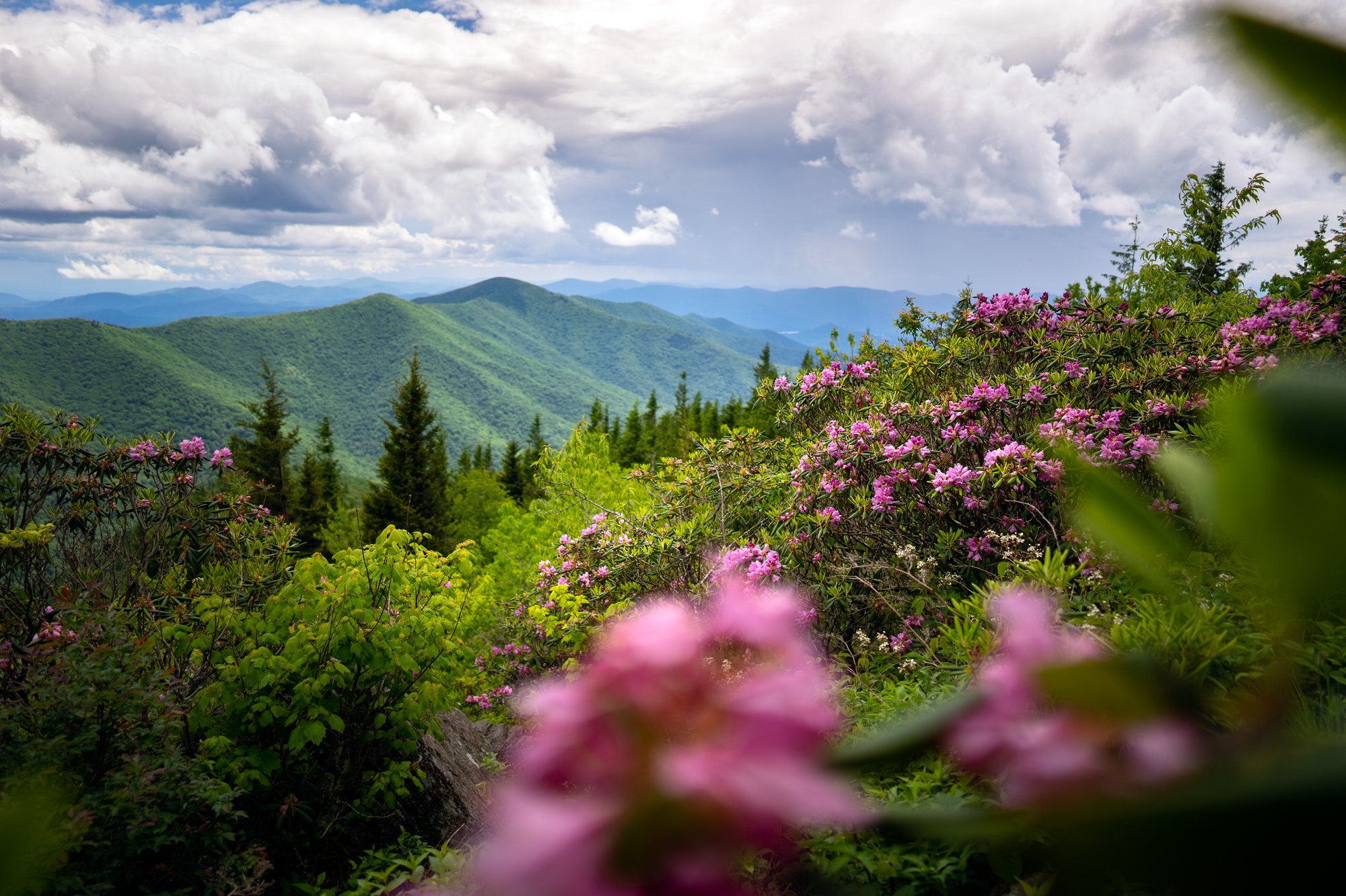
Spring brings rhododendron blooms and stronger water flow to Log Hollow Branch after snowmelt and rain, making the falls at their fullest.
Summer keeps the walk shaded beneath the forest canopy, and wild blackberries ripen along Headwaters Road in late July and August for the drive in and out.
Fall brings cooler temperatures and color to the hollow, with lower water levels that make wading to the base of the falls easier.
Winter can be scenic but unpredictable—Headwaters Road (FS 475B) is prone to seasonal closures from snow and ice, typically January through March, which can block access to the trailhead entirely.
Check current road and forest conditions before heading out any time of year, since gravel roads like Headwaters Road are also the slowest to get attention after heavy storms.
How Do I Get There?
Log Hollow Falls is located in the Pisgah Ranger District of Pisgah National Forest, off Headwaters Road north of Brevard, roughly 45 minutes to an hour from downtown Asheville.
From downtown Asheville, take I-26 East to Exit 40 (NC-280) and follow NC-280 West for about 16 miles to Brevard. Turn right onto US-276 North (the Forest Heritage Scenic Byway) and continue about 10.3 miles into Pisgah National Forest, passing Looking Glass Falls and Sliding Rock along the way. Turn left onto Headwaters Road (FS 475B, gravel) and continue about 1.6 miles to a sharp curve, where a Forest Service information sign marks the small parking pull-off. The gated entrance to Forest Service Road 5043 is on the right.
Note: Headwaters Road is an unpaved forest road that is regularly gated and closed to vehicles in winter, typically from January through March, due to snow and ice at higher elevations. Check current Pisgah Ranger District conditions before visiting, especially outside of the summer and fall months.
Tip: Parking along Headwaters Road is limited to a small pull-off, and the gravel road itself has potholes and tight curves—drive slowly, and don't rely on GPS alone for the final turn onto FS 475B.
Know Before You Go
- This out-and-back hike to Log Hollow Falls is approximately 1 mile round trip with minimal elevation gain, making it one of the easier waterfall hikes in the Pisgah Ranger District.
- Visiting the full cluster of nearby waterfalls—Discovery Falls, Upper Log Hollow Falls, and Logging Road Falls—extends the hike to roughly 2.5 to 3 miles round trip on steeper, less maintained spur trails.
- At the trailhead gate, take the wide former logging road, not the smaller, steeper side trail—the logging road is the correct route to Log Hollow Falls.
- Headwaters Road (FS 475B) is gravel and prone to seasonal closures from snow and ice, typically January through March. Check current conditions before visiting.
- Rocks around the base of the falls are slippery, even in dry weather. Use caution if you wade in or climb near the plunge pool.
- There are no restrooms, potable water, or trash service at the trailhead. Pack out everything you bring.
- Dogs are welcome but must be kept on a leash.
- Parking is limited to a small gravel pull-off along Headwaters Road; arrive early on weekends and during peak fall color season.
- Cell service is limited in this part of Pisgah National Forest. Download directions before you leave Brevard or Asheville.
- This is a family-friendly hike, but the short spur trails to the additional waterfalls are steep and muddy—use caution with young children if you extend the hike.
Request a Free Destination Guide
There’s no better way to start your trip planning than with Asheville’s Official Destination Guide.

Sign Up for Our Newsletter
Stay in the know with the best of Asheville delivered straight to your inbox.
Download the Explore Asheville App
Plan your time in Asheville from the comfort of your device.