
The Chimneys Hike at Linville Gorge

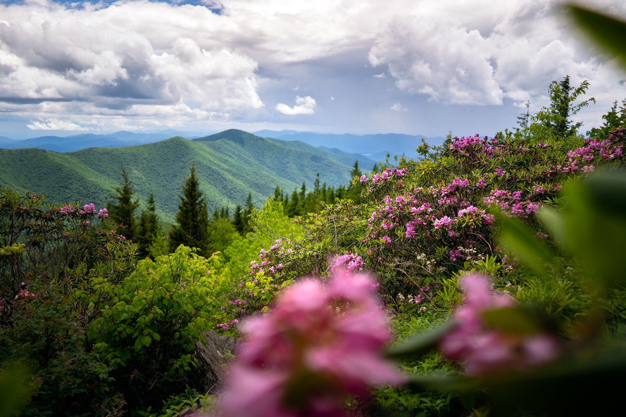
The Chimneys is a ridgeline scramble with a view that knocks the wind out of you.
A mile and a half of trail carries you along the eastern rim of Linville Gorge, over and around a run of quartzite towers that rise straight out of the ridgeline. There is no railing here. No overlook platform. Just white blazes, wind, and two thousand feet of gorge falling away beside you. The Linville River spent an unhurried stretch of time cutting this canyon, and the Chimneys are what stayed standing.
For the most up-to-date conditions, check AllTrails page and read recent reviews.
- Length: 1.7 miles round tripDuration of Hike: 1 to 1.5 hoursElevation Gain: 318 feetBlazes: NoFacilities & Parking: Table Rock trailhead parking may be closed (see note below)Features: Views, Wild Flowers, Mountain Bald, Open Trail
What can I expect at the Chimneys?

A short ridgeline route across bare quartzite, with exposure the whole way and no guardrails anywhere.
The Chimneys are a run of rock towers along Jonas Ridge, the eastern wall of Linville Gorge. The trail here is a shared section of the Mountains-to-Sea Trail, marked with white circular blazes, and it behaves less like a path and more like a series of decisions: over this tower, around that one, down into a gap, back up onto open stone.
From the trailhead, the route runs south through a stand of primitive campsites and climbs gently for about a half mile. The first outcroppings appear on your left. Step out onto the boulders here and you get the classic look back at the Table Rock summit standing above the ridge.
Keep going another quarter mile and the towers get bigger, with the gorge open on one side and the Piedmont falling away on the other. The rock underfoot is Chilhowee quartzite, a formation found only in this corner of North Carolina, and you are walking directly on it for much of the route.
Route-finding gets genuinely tricky in the Chimneys proper. Climbers have worn in a web of side paths to the base of the walls and the tops of individual towers, and several of them look more established than the actual trail. Watch for the white blazes. If you step off onto a spur, note how you got there before you go any further. Tree cover is thin enough that you can usually see your way back.

How do I get to the Chimneys from Asheville?
About 70 miles and roughly two hours, with the last stretch on gravel.
PLEASE NOTE: As of mid-2026, the Table Rock parking lot was closed, adding an additional 1.2 miles uphill on a paved road to reach the trailhead, so please plan accordingly.
From downtown Asheville, take I-40 East to Marion. Follow U.S. 221 North toward the Linville Falls area, then NC 183 to NC 181. Turn south on NC 181 and go three miles to Gingercake Road, taking the second intersection with Gingercake Road. This is about four miles south of where the Blue Ridge Parkway crosses NC 181.
A half mile down Gingercake Road, stay left at the fork and follow the sign for Table Rock onto Table Rock Road. Pavement ends in about a mile. From there it is roughly seven miles of one-lane gravel forest road to the Table Rock area. Plan 40 to 50 minutes for the gravel alone. It is washboarded in places and not a road for low-clearance cars, but it is regularly graded and passable in a standard passenger vehicle when dry.
Download your map before you leave pavement. Cell service is unreliable to nonexistent for the last several miles and on the ridge itself.

Can I camp near the Chimneys?
Yes, and the permit rules depend on which side of the Wilderness boundary you sleep on. The first stretch of trail from the Table Rock trailhead passes through a well-used primitive camping area with established sites and fire rings, which makes this an unusually short carry for a backcountry night.
Overnight permits are required only for camping inside the designated Linville Gorge Wilderness boundary, and only on Friday and Saturday nights from May through October, plus Sunday nights on three-day holiday weekends. Permits are not required for day use, roadside camping, or camping on Table Rock. Group size is capped at 10 and stays at two nights.
Permits are free, reserved through Recreation.gov with a small transaction fee, and limited by a nightly quota. Questions go to the Grandfather Ranger District at (828) 652-2144.
Camping is not allowed in the picnic area.
Know Before You Go
Conditions on this ridge run cooler and windier than Asheville, and there is almost no shelter once you leave the trees. The paved approach road is gated to vehicles seasonally from January 2 through April 1. There is no potable water and no restrooms. Cell service is unreliable. Confirm current access with the Grandfather Ranger District at (828) 652-2144 before you make the drive.
Chimneys Trailhead GPS Coordinates
35.886123, -81.884728
Request a Free Destination Guide
There’s no better way to start your trip planning than with Asheville’s Official Destination Guide.
Sign Up for Our Newsletter
Stay in the know with the best of Asheville delivered straight to your inbox.
Download the Explore Asheville App
Plan your time in Asheville from the comfort of your device.