Getting Around Asheville
Getting Around Asheville
Unique Transportation Options
In Asheville, North Carolina, you can have it any way you like it. Kick back and ride the trolley, take a taxi, rent a car or see historic sites from the LaZoom bus, pedalcabs, pubcycles, tuktuks and more if you're into something unique.
Maps and Transportation Options for Asheville, NC
The city has many innovative transportation options, such as the historic trolley, in addition to more traditional taxi service and regular bus routes. Several pedestrian-friendly areas are perfect for setting your own pace, and the outlying areas offer everything from Segway tours to guided waterfall tours.
Remember to check out our maps and map-it options if you intend to drive yourself. Consider starting your trip at the Asheville Visitor Center, open seven days a week. Located at 36 Montford Ave (Exit 4C off I-240) near downtown Asheville, the Visitor Center is the place for maps, local information and insider tips on how to get around. Call (828) 258-6129 for more information.
Coming to the Area?
Click here for air travel information
Interstate and U.S. Highways
Asheville is an easy drive from most of the eastern United States. It is centrally located in the epicenter of numerous major cities and easily accessible from the following interstates and highways: I-26, I-40 and I-240; U.S. 19/23, 25, 25A, 70 and 74. Click for more info about getting here by car.
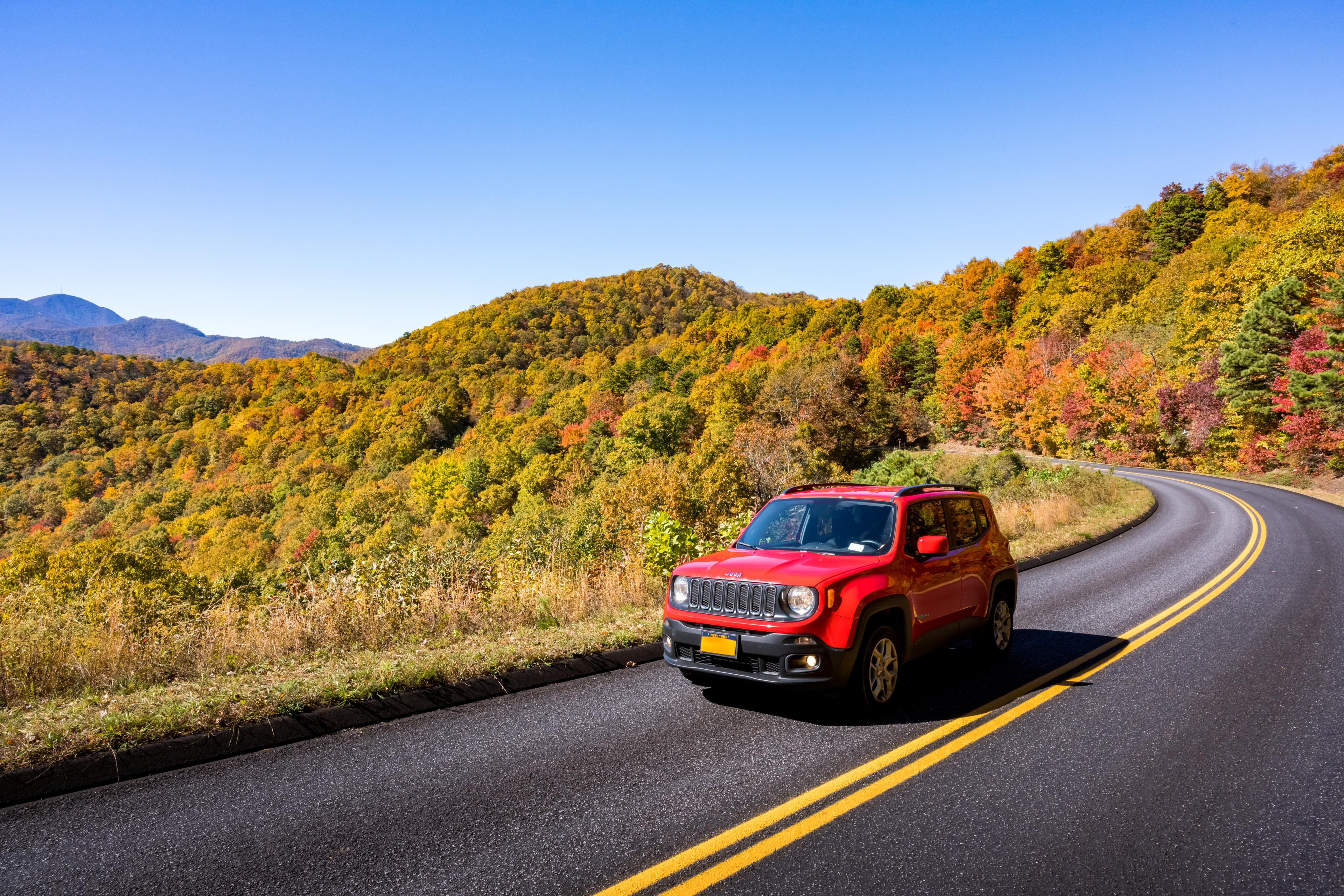
Blue Ridge Parkway
Considered the nation's most scenic highway, the 469-mile Blue Ridge Parkway winds along the Blue Ridge Mountains, through Asheville and into the entrance of the Great Smoky Mountains National Park. Numerous overlooks, roadside exhibits and hiking trails make a trip along the Parkway a delight year-round. The Parkway intersects with Asheville at four points: US 25, US 70, US 74 and NC 191.
Already Here?
Asheville Trolley Tours
See the best of Asheville from aboard a vintage trolley with Gray Line Trolley Tours of Asheville. Enjoy a fully narrated tour covering all major points of interest in Asheville including The Omni Grove Park Inn, Historic Biltmore Village, the downtown shopping and restaurant district, the River Arts District and much more. Step off the trolley at any of the convenient stops to shop, dine or sightsee, then re-board and continue the tour. Tours are offered seven days a week. Purchase your tickets at the Visitor Center.
Public Transportation
- Bus Service - ART System: (828) 253-5691
- Greyhound and Trailways: (828) 849-8966
RideShare Services
- Popular ridesharing services Uber and Lyft operate within the greater Asheville area and are easy to access via their mobile apps.
- At the Asheville Regional Airport (AVL), the rideshare pick-up area is located past the north end of the airport terminal.
- If you plan to travel to the Biltmore by an external transportation service such as taxi, Uber or Lyft, you will be responsible for your own transportation several times during your visit. Alternatively, you may visit Biltmore Guest Services to make a reservation for the Biltmore Express shuttle service at an additional charge. Find more information about transportation at Biltmore.
Request a Free Destination Guide
There’s no better way to start your trip planning than with Asheville’s Official Destination Guide.

Sign Up for Our Newsletter
Stay in the know with the best of Asheville delivered straight to your inbox.
Download the Explore Asheville App
Plan your time in Asheville from the comfort of your device.